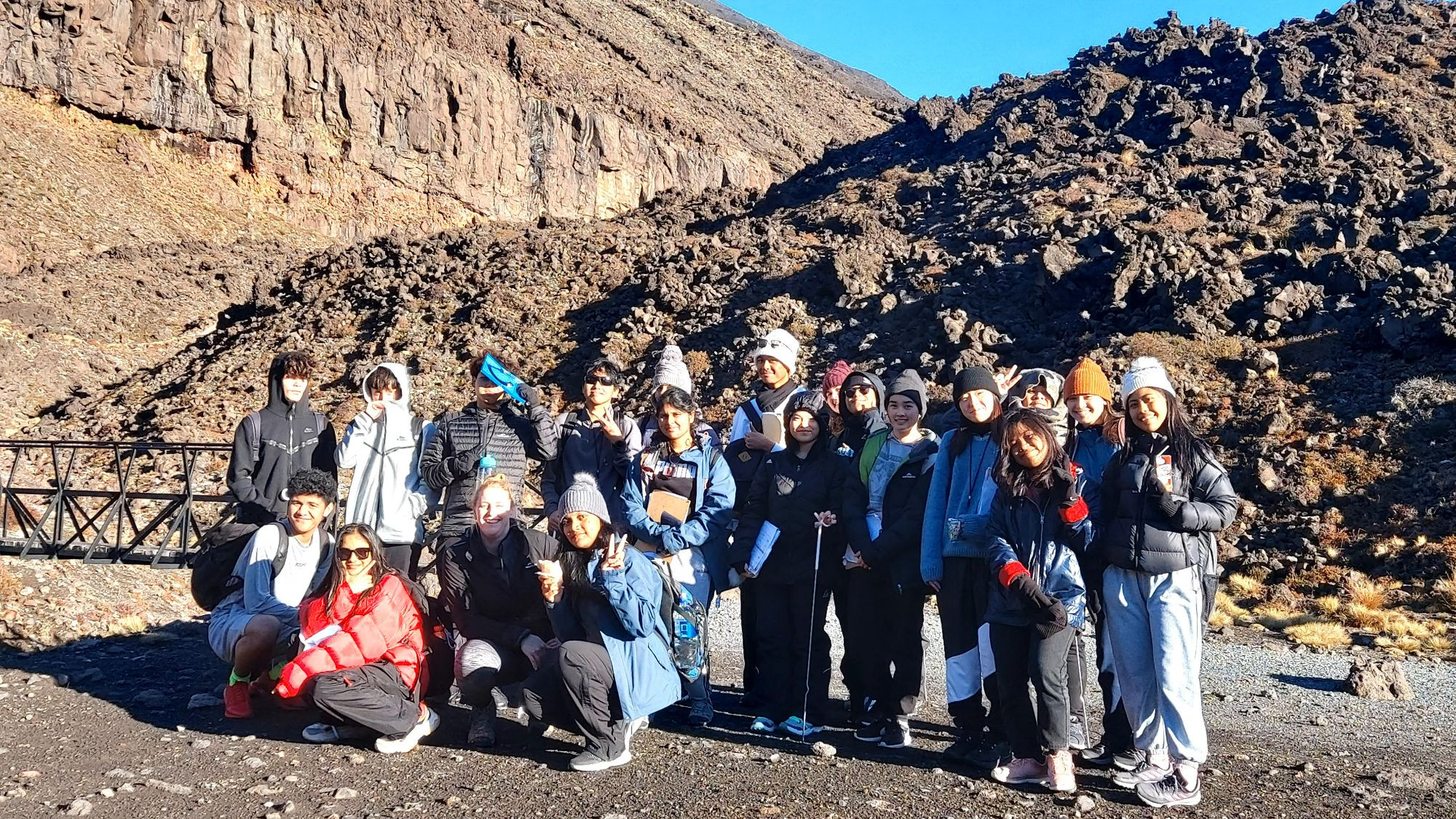
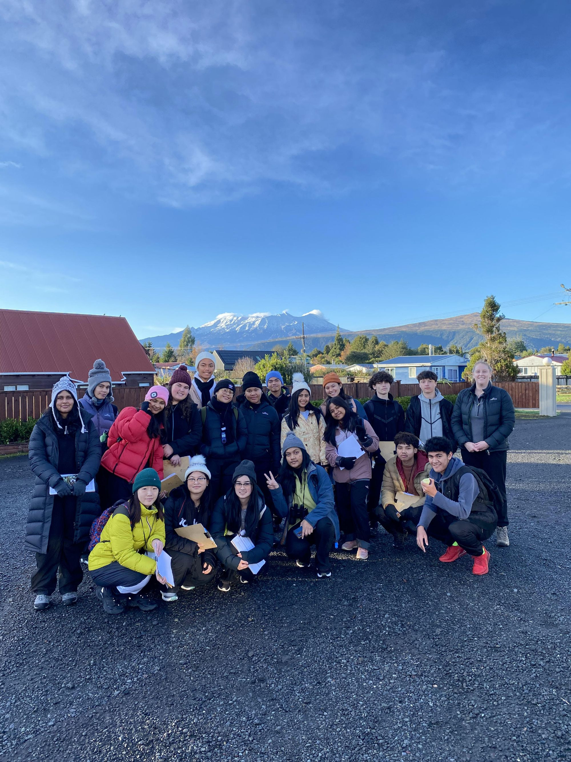
During Week 5, from the 22nd to the 24th of May the Year 12 Geography class of 19 students travelled to Tongariro National Park
The journey took around 6 hours to drive, practically a full school day of travelling!
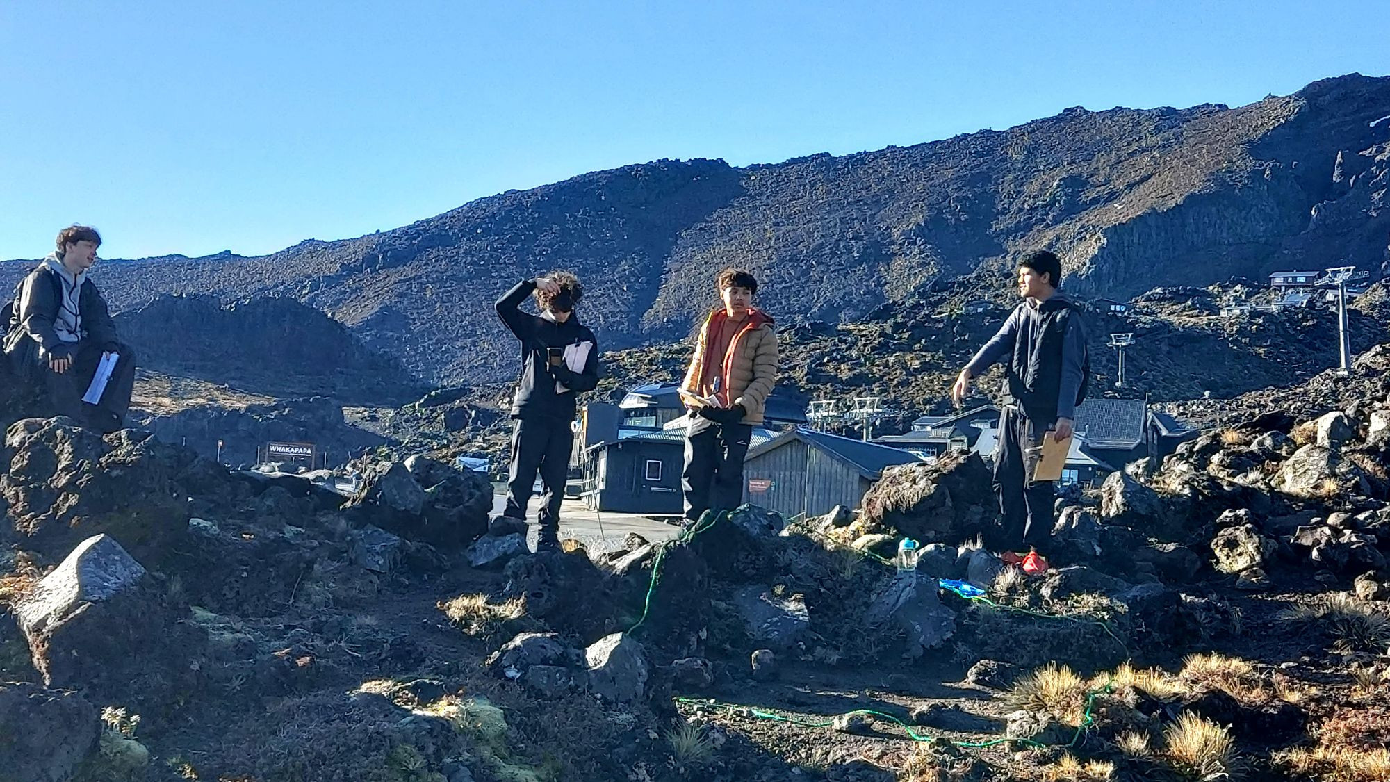
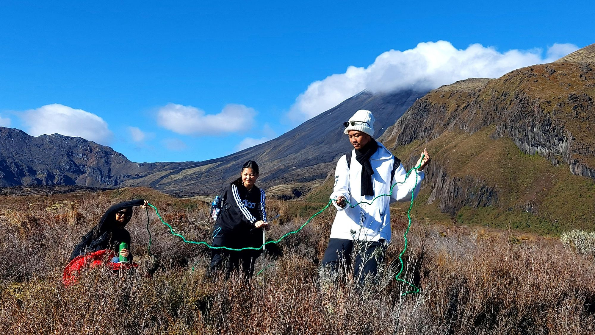
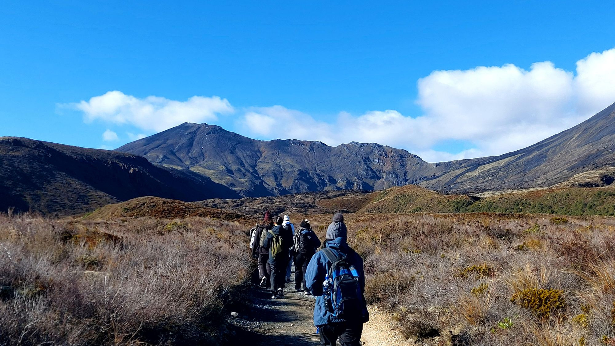
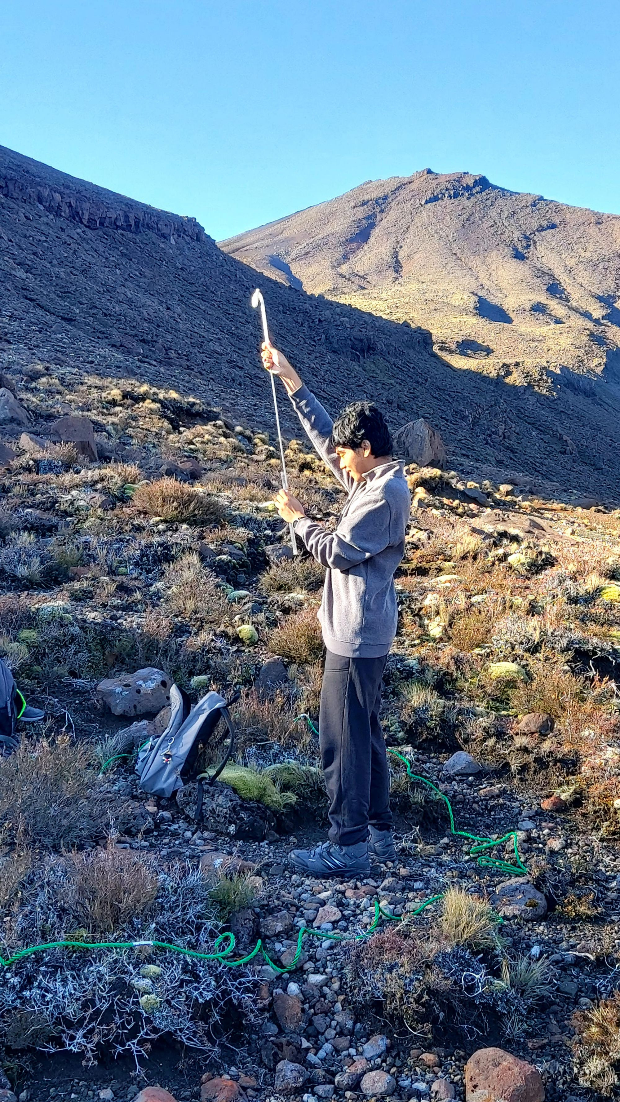
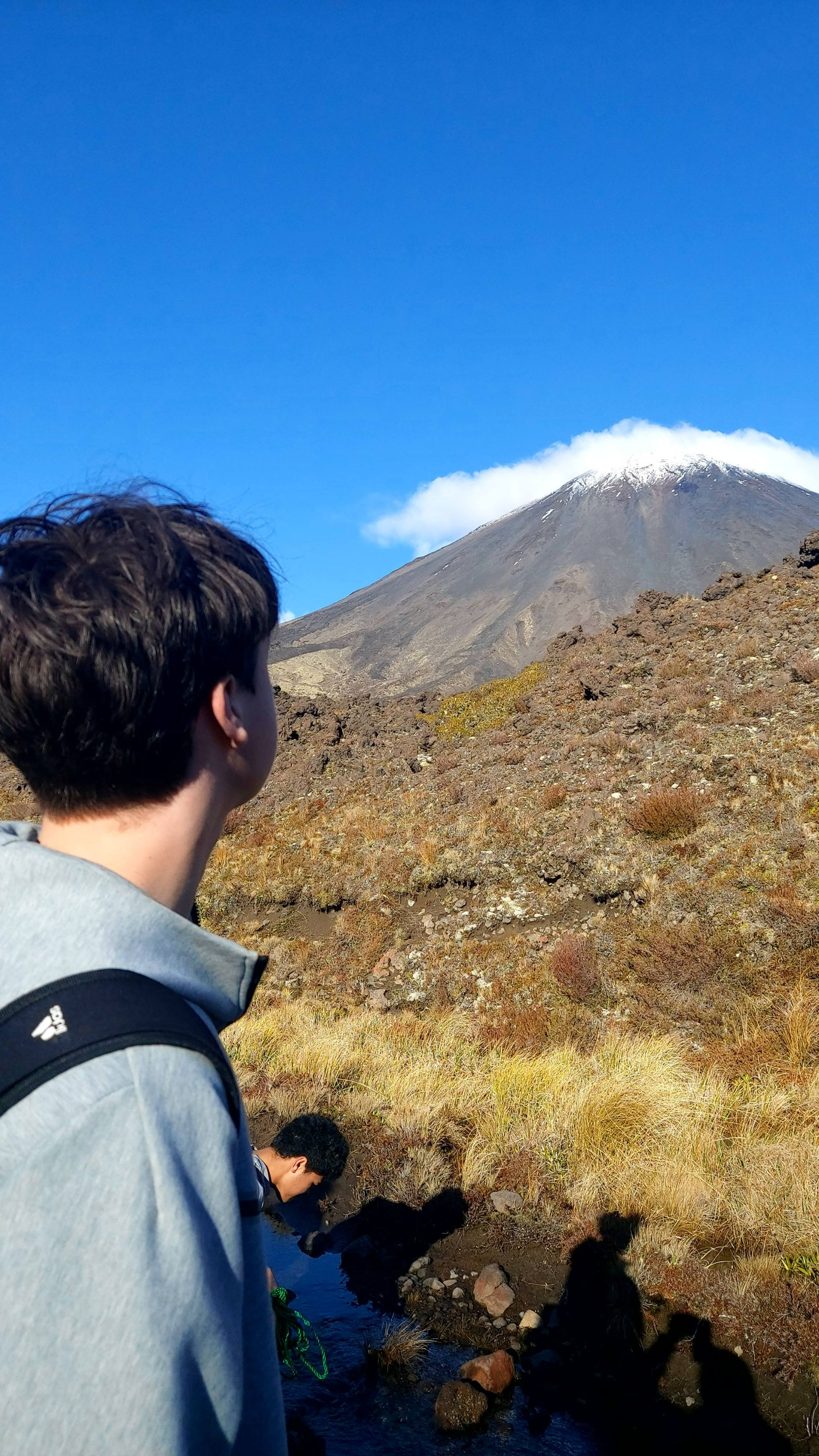
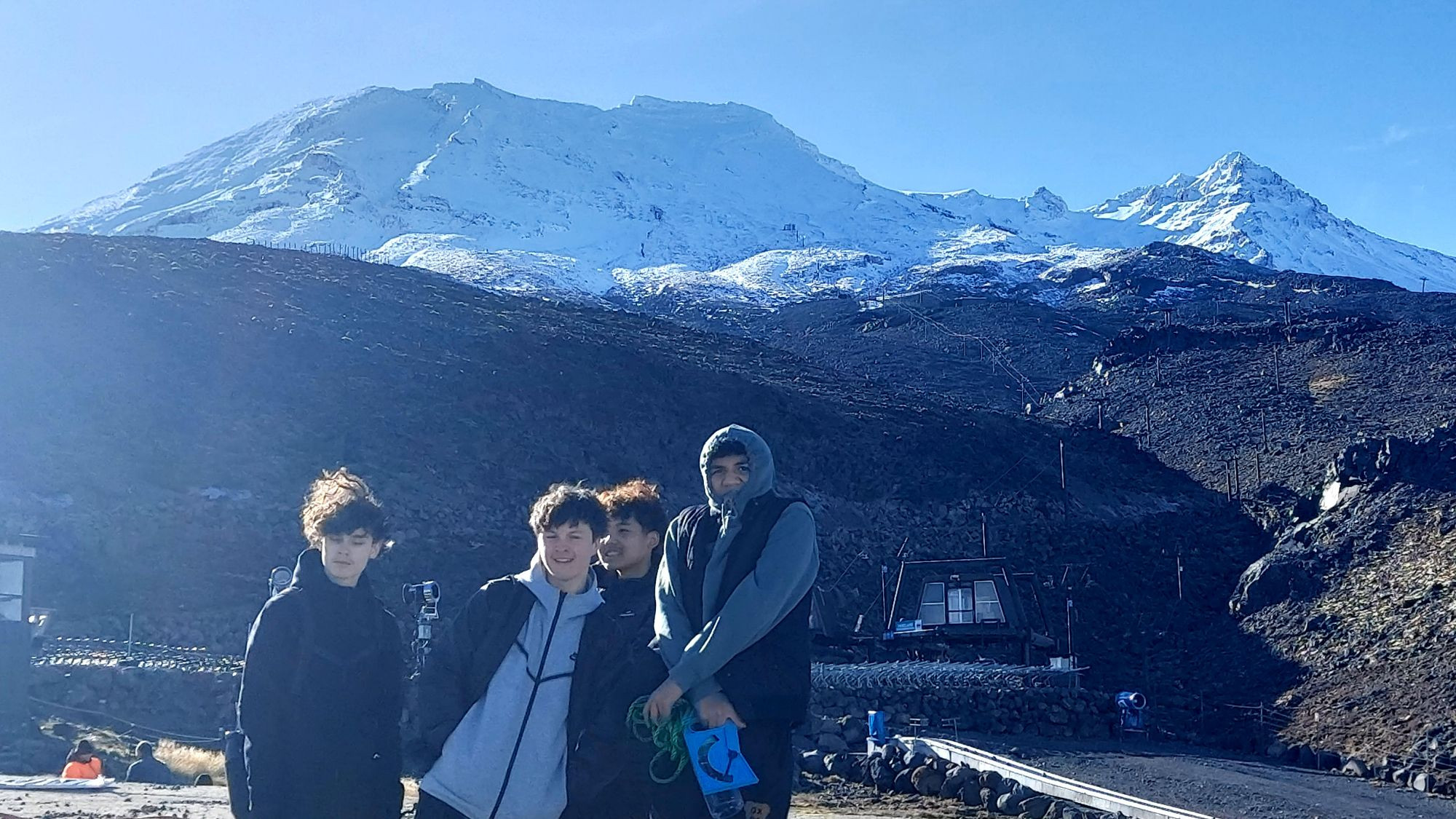
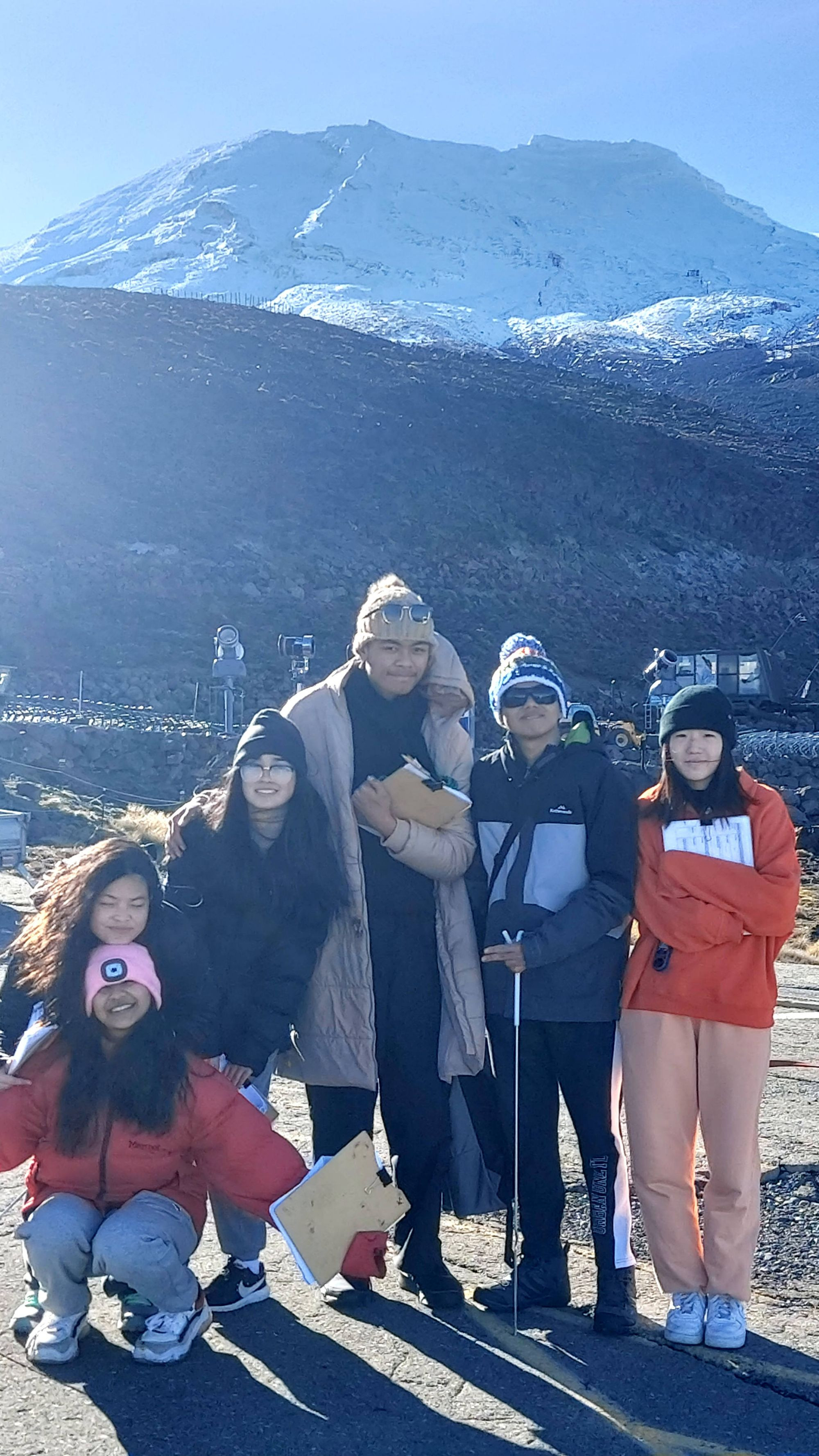
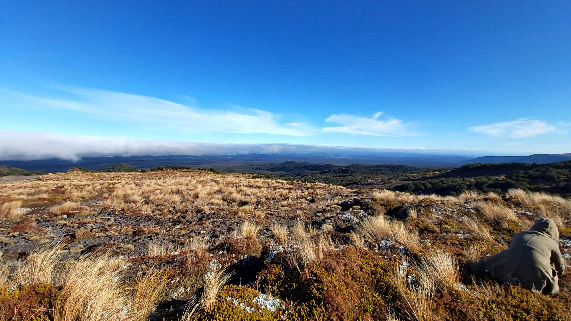
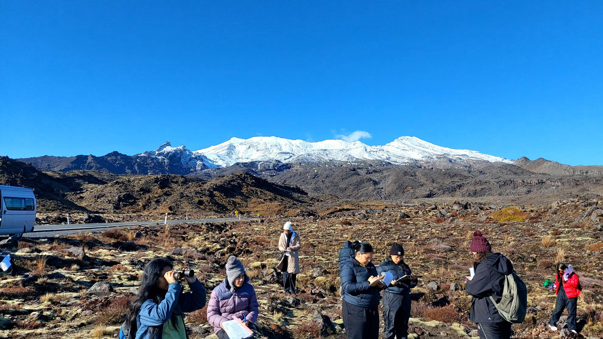
The next day we got up bright and early to have yummy pancakes for breakfast made by our teachers before we started our first official day of collecting data for our up-and-coming internal assessment. Our first location was the Whakapapa ski field located on Mt Ruapehu, we continued to travel down the mountain stopping at 3 more locations to collect data. Our data collection process consisted of finding the wind speed, temperature, soil depth, air pressure, humidity, and maximum vegetation height in a quadrat at different altitudes. Later in the day, we completed a return walk of the first 4.5km of the Tongariro crossing, this was a first and new experience for many of our students. We had to walk up huge rocky steps, cross little waterways and walk against strong winds. During the hike, we saw lots of cool scenery like Mount Ngauruhoe, otherwise known as Mt Doom from the Lord of the Rings trilogy. The hike took us around 3 hours to complete!
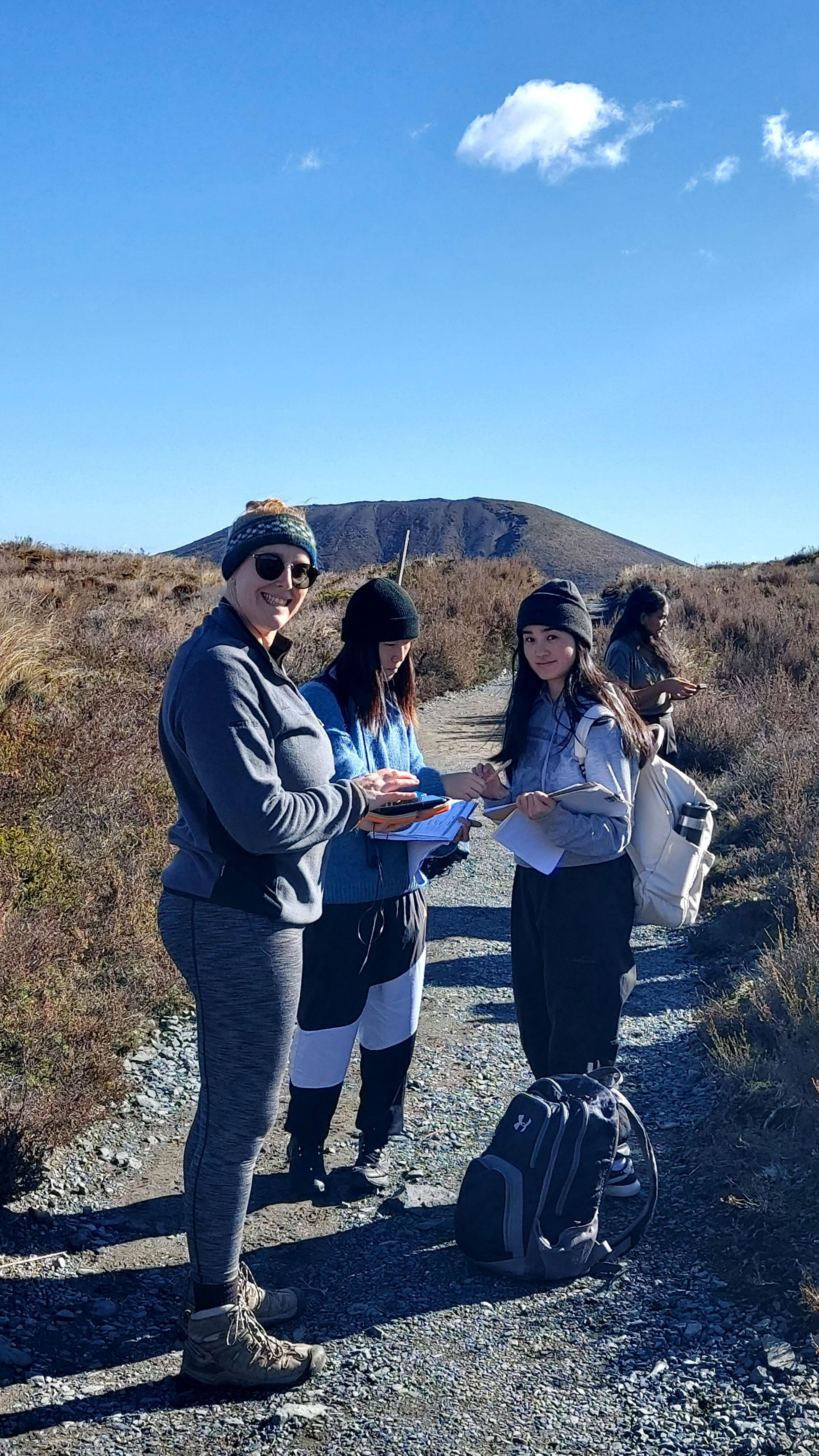
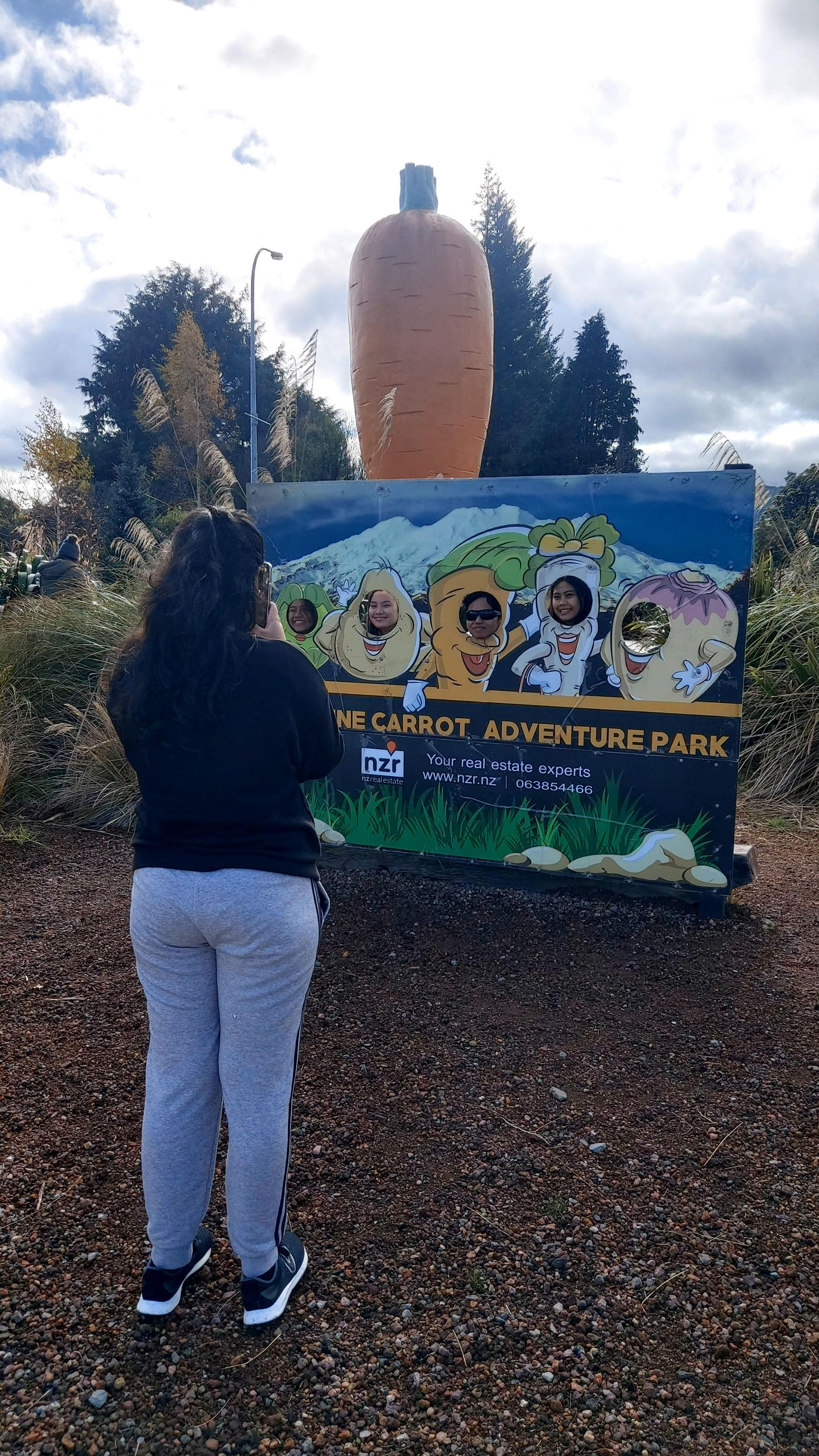
On day 3 we completed more data collection on the Ohakune side of Mt Ruapehu and wrapped our trip up with a picture next to the world's largest carrot, Ohakune Carrot, before heading back to Auckland.
By Keira and Yaslyn