


Written by Bailey and Sophie, Year 12
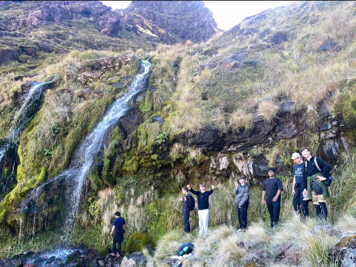
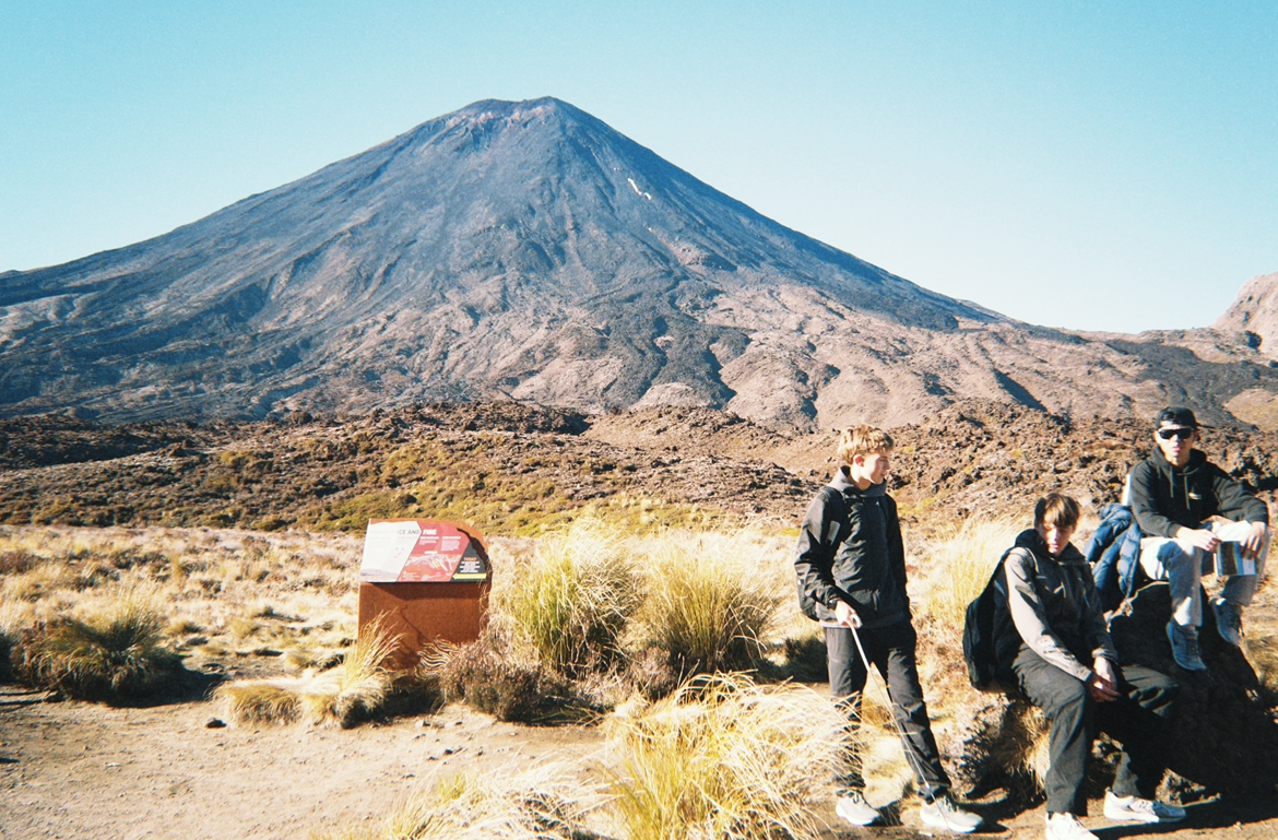
From May 4th to 6th, Year 12 geography students took a trip to Tongariro National Park to gather data for our 5-credit assessment. It took us 6 hours in total to drive all the way down, stopping in various places along the way! We stayed at Pipers Ski Lodge in Waimarino, from the accommodation we had a great view of Mt Tongariro and Mt Ruapehu.
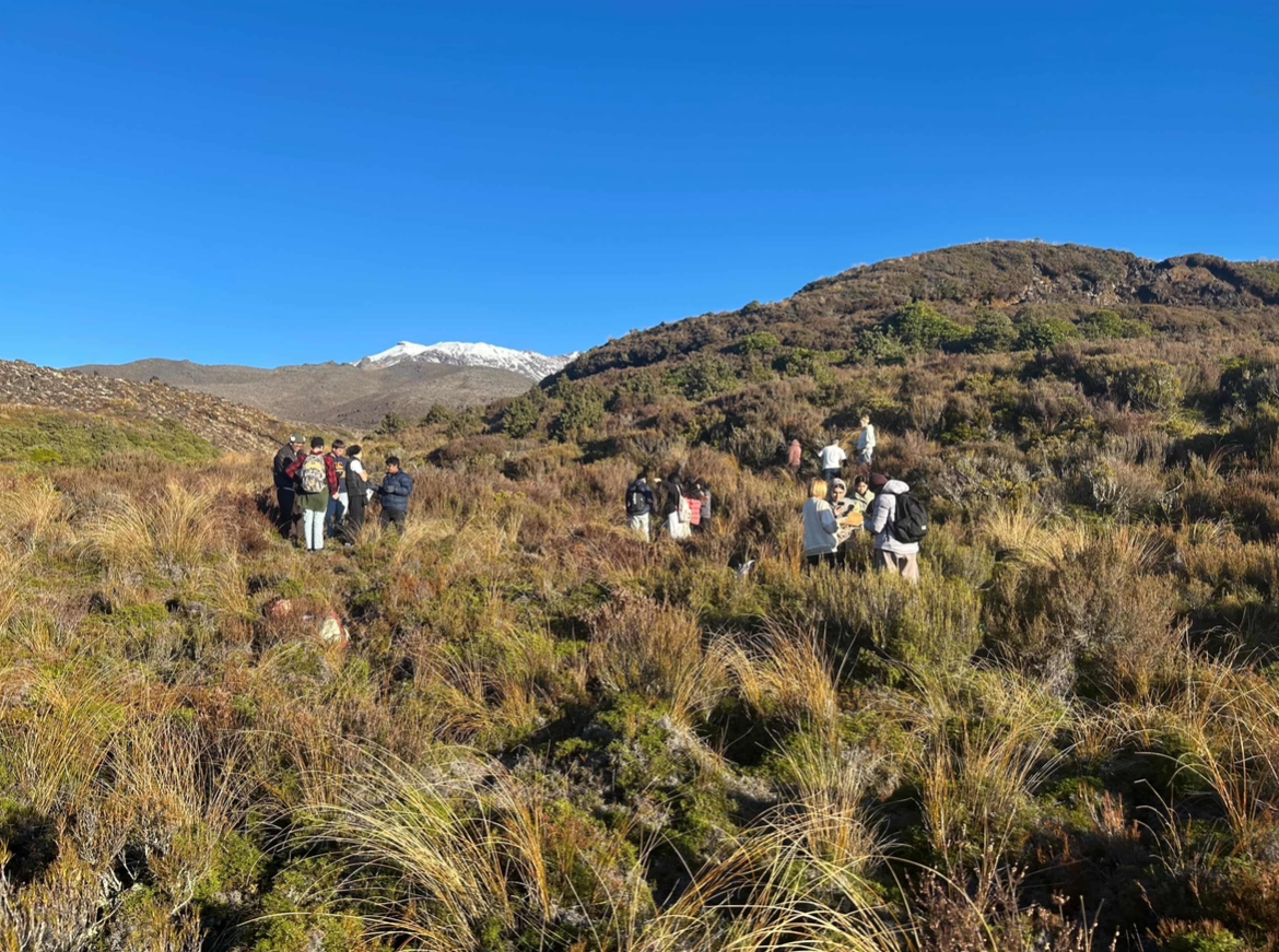
Our first evening consisted of unpacking and heading up the Whakapapa ski field to collect our first set of data. Our data collection included measuring wind speed, vegetation height, soil depth, percentage ground cover in a 1m square, temperature, altitude, humidity, and air pressure. We soon headed back down the mountain, stopping at 2 more locations.
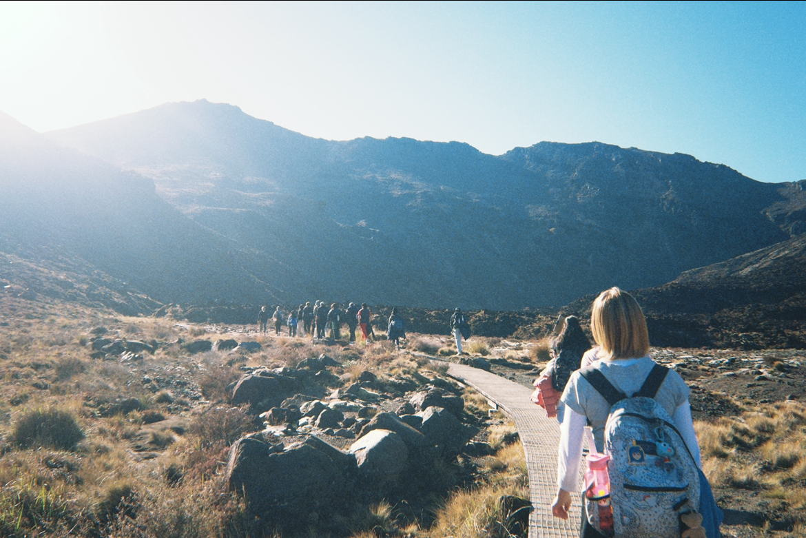
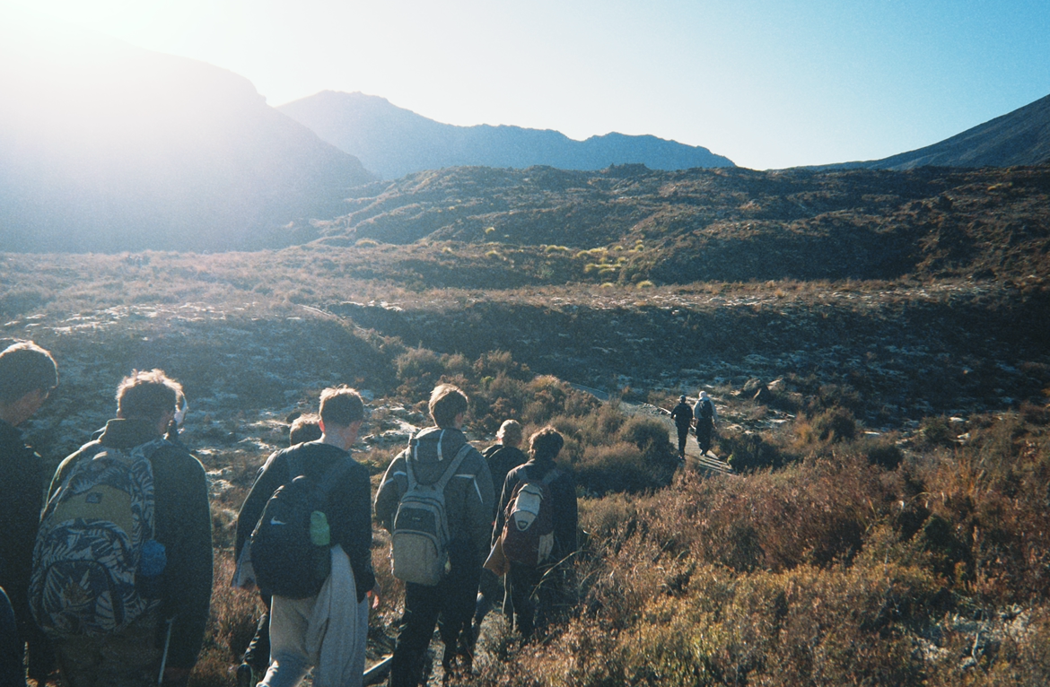
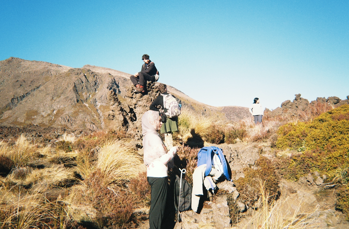
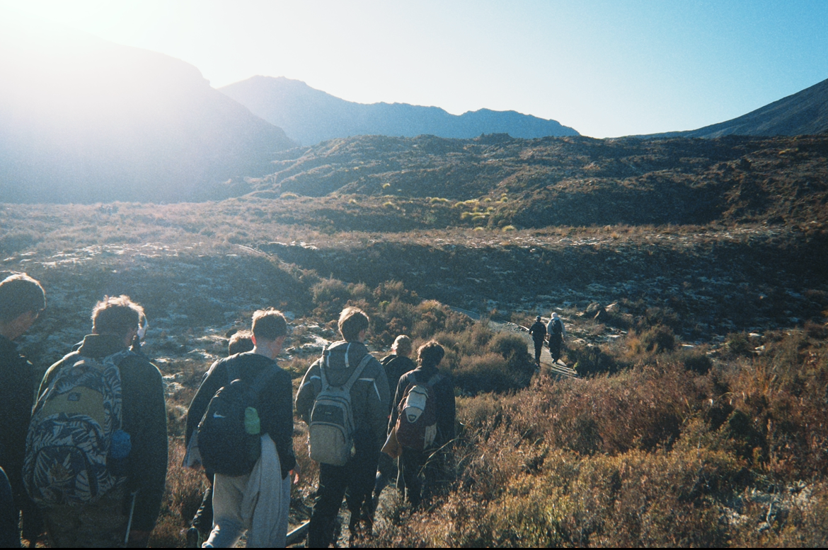
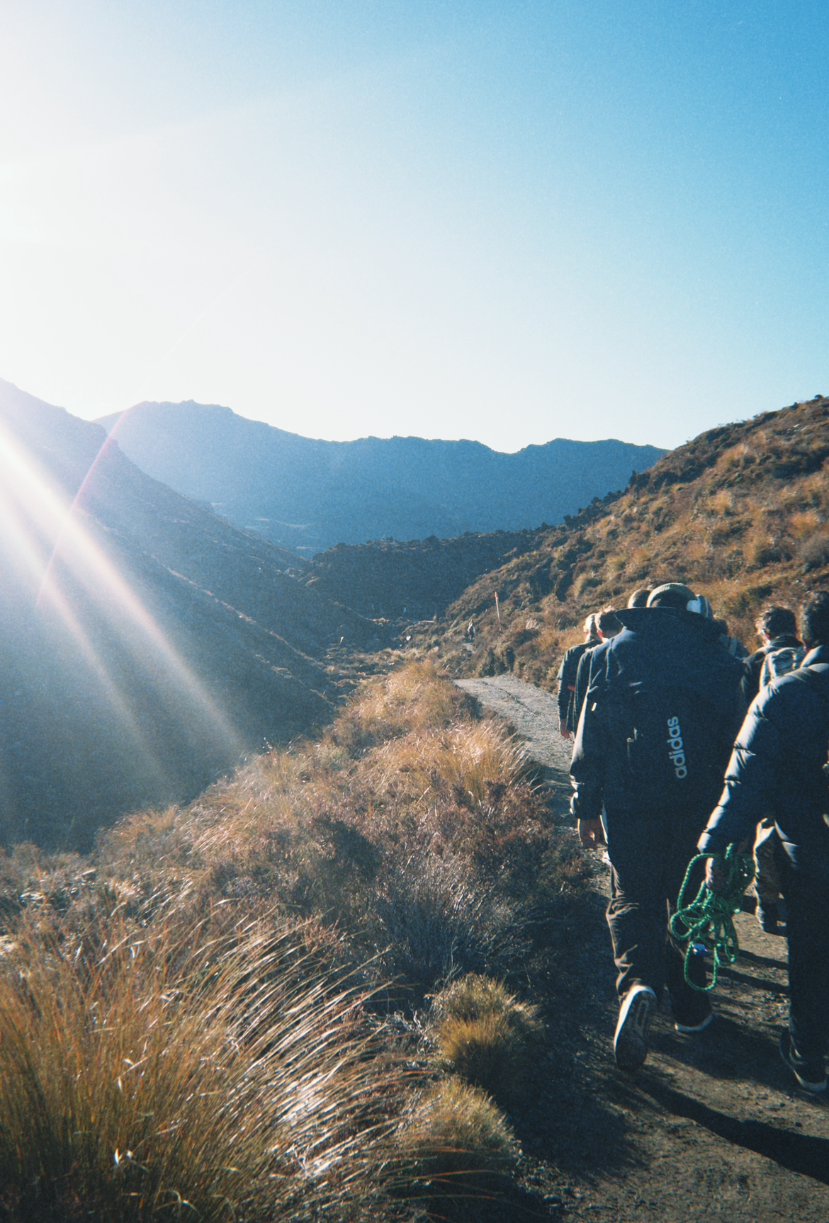
Waking up around 6:30 am, we got ready, had breakfast, and completed a 6km hike. We did the first 3km of the Tongariro, turning back just before the Devil's Staircase! Along the way, we stopped at 4 locations to collect data before a break to take a look at Soda Springs. After lunch, we left for the Tūroa ski field, where we saw snow! We quickly collected data while also playing in the snow and having some snowball fights before moving on to more data collection, stopping to do a quick bush walk – the Mangawhero forest walk. In our evenings at the lodge, we made our own fun, playing in the arcade room, hide and seek around the lodge, and making s'mores.
Our final day was spent packing up, stopping at Ketetahi Bush, having lunch in Tokoroa, and driving back to school. This trip was an awesome opportunity to see such an amazing part of our country and bond with many students in our class.
By Bailey and Sophie


 42 Rathgar Rd